
At least eight 18th and 19th century taverns or inns have been identified as within the current township’s political borders. We’ll look at them using census data, wills and probate records, tavern licenses and other early books and documents.
Census data will give us an idea of family composition, ages, occupation and a few other demographics. Wills and probate are only relevant if an owner passed his tavern on after his death. Tavern licenses, while rather uniform and bland, prove a tavern was in operation and name who supporters were of the ownership. Early books by both Charles Boyer and Henry Bisbee will show their view of a tavern’s history.
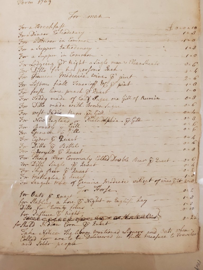
But first, here is a look at a Tavern Price list, or menu, from 1769.
Click on Taverns below to learn more about them:
-

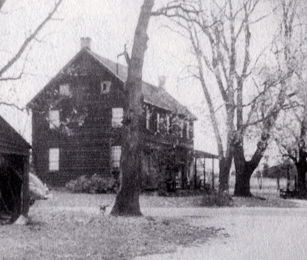
Eagle Hotel
The Eagle Hotel dates back to the latter half of the 1700’s. In 1799 Gideon Pharo (Farrow) was reported to be the operator. In 1830 James McCambridge bought the land as he acquired this and many acres of adjoining land, including Speedwell. The hotel was located on the once busy road today known as Eagle… Read more
-
Fox Chase Tavern
By Rick Franzen Built prior to 1800 by William Fox. By 1830 Hosea Moore was the owner. Hosea Moore’s name appears on a list of tavern owners dated 1829/1830. The building caught fire and burned in the mid 1950’s. Virgil and Helen O’Neal were living there at the time. Local resident Ken Yates states he… Read more
-
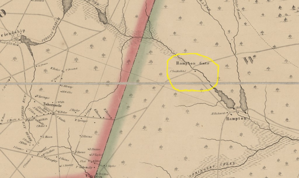
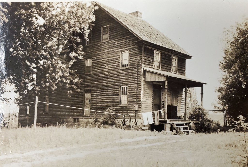
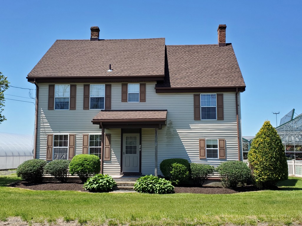
Hampton Gate Tavern
By Rick Franzen As early as 1812 David Cavileer operated Hampton Gate Tavern. After he passed in 1824, his wife became the operator. Its exact location on Carranza Road is unknown. It is said to have been a “stone” tavern, but little evidence seems to confirm this. Others have reported that it was constructed of… Read more
-
Kemble Inn
(Tabernacle Hotel and Farm) (Sign of the Eagle) By Rick Franzen The earliest reference to a house/hotel on this site seems to be when Benjamin White owned the property. Born about 1755, he lived till sometime close to the 1820’s. Benajamin was a Revolutionary War soldier who served with the First Regiment in New Jersey.… Read more
-
Naylor’s Tavern
The former building stood until about 1975, when it burned and was destroyed. Its location is at the intersections of Old Indian Mills and Tuckerton Roads. No sure-fire confirmation of its use as a hotel has yet been found, and some experts question if indeed this building was ever a hotel. Often, this same intersection… Read more
-

Sooy Place Tavern (aka Pine Tavern)
At least eight 18th and 19th century taverns or inns have been identified as within the current township’s political borders. Read more
-

Tabernacle Hotel
By Rick Franzen Sometimes you just never know what you may find. The Cramer property on Old Indian Mills Road in Tabernacle has long been known as one of the older homesteads in town. Yet it has never been known as a “tavern”, “inn” or “hotel.” No Tavern licenses have been located for it nor… Read more
-

White Horse Tavern
By Rick Franzen Tabernacle Township has a long history of European occupation. We can document a sawmill operation at Friendship Mill (Camp Inawendiwin today) to about 1715. Over the years as many as eight taverns, inns or hotels have existed, many being established during pre-revolutionary war times. While known then as Northampton Township, Tabernacle when… Read more
